This USGS map dates from the early 1970s. Green represents forest cover. The sewage treatment plant shown along the Little Juniata River near the entrance to Plummer’s Hollow subsequently moved a quarter-mile to the southeast, just beyond the gap. The Borough of Tyrone is shown in pink on the upper left. The village of Tyrone Forge is off the map to the right, along the river. The purple lines, then U.S. Route 220, are now part of I-99.
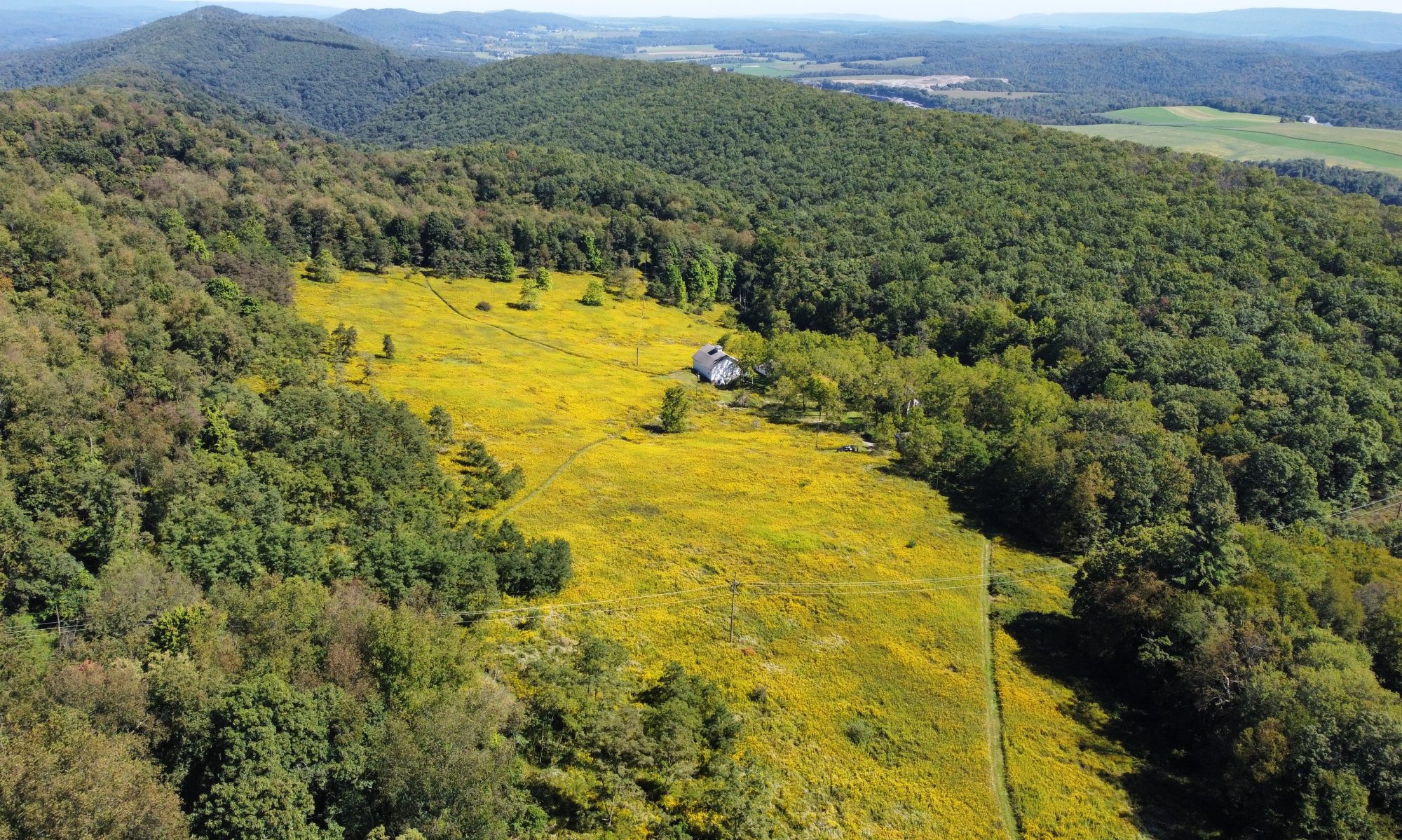
The Plummer’s Hollow Private Nature Reserve encompasses the entire Plummer’s Hollow Run watershed, plus over 100 additional acres along the Brush Mountain ridgetop SW of the hollow, and from the ridgecrest down to I-99 and the Main Line of the old Middle Division of the Pennsylvania Railroad (now Norfolk Southern) on the NW, N and NE sides of Plummer’s Hollow. For convenience’s sake, we are referring to the entire Bonta family property as Plummer’s Hollow. Here are some links to help get you oriented.
- Welcome to Plummer’s Hollow
- Where and what is Plummer’s Hollow?
- Aerial view of the farm from spring 2008 (MSN Live Search Maps)
- Satellite View
- Plummer’s Hollow Run – National Assessment Database
- Railfan’s Guide- Tipton to Tyrone
The entrance to Plummer’s Hollow is identified only as “Private Grade Crossing.” Scroll down to near bottom for photos of trains going past the hollow. - For geology, see the Wikipedia entry for Bald Eagle Mountain
